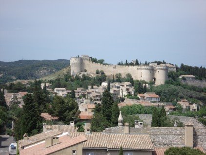
22 May - Chateauneuf du Pape
That last post was the last one written on the trip...now I'm reconstructing.... The ride on May 22 was longer than expected. I planned to ride up to Chateauneuf du Pape (i.e. the new chateau of the Pope, a terroir that has been growing wine since the Popes were in Avignon).
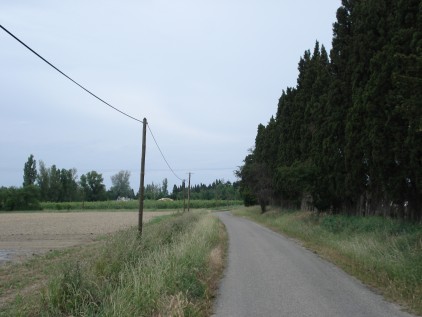
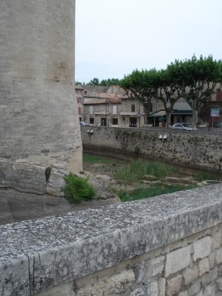
I thought I could cut across this little island in the Rhone to the north of Avignon. The map showed bridges connecting it to another island and thence to the E side of the Rhone but the 1st of the bridges was inside a fenced off area--it turned out to be a hydroelectric dam. It's too bad b/c it would make for a great, traffic-free cycling route. The island itself is all agricultural & woodlands (probably the private gardens and hunting grounds of the Popes back in the day...).
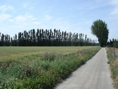
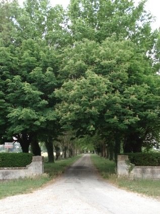
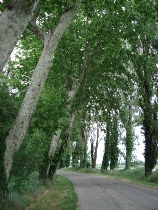
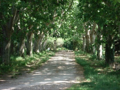
Another corridor of sycamores.

Around the corner is where the PYTs of Avignon go to take their riding lessons.

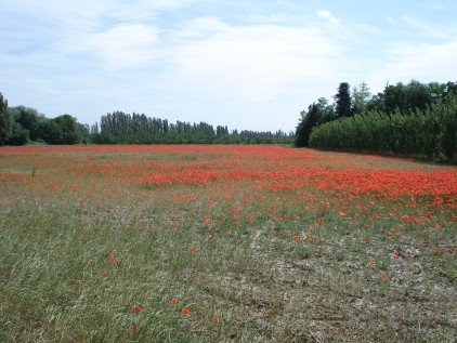
And more of the ubiquitous poppies.

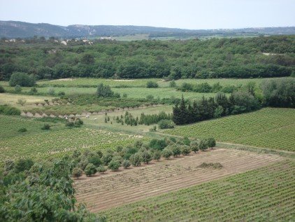
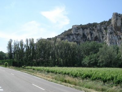
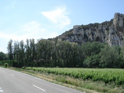
After spinning around the island for a while, and realizing that the only way off was the way I got on, I headed up the W side of the Rhone, past this vineyard.

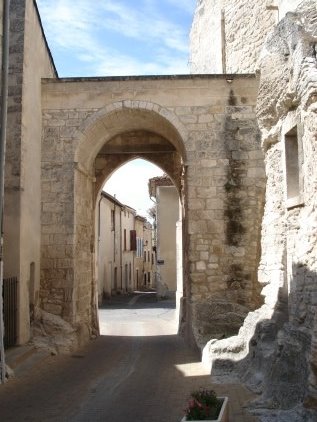
I took a detour here, up a short climb to the town of Pujaut. There's a bit about the town here, with a map -- I was riding up the D980 and took the 2nd left into Pujaut from Sauveterre. What that link doesn't tell is the etymology of the name...it's not just a really bad misspelling of Peugeot -- it comes from the Latin "Podium Altum" meaning a high hill...the spelling changed sometime in the 14th century, according to this site.
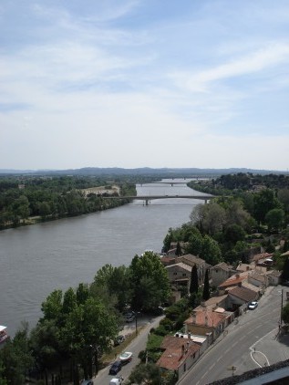
After getting back on the D980 I passed a trio of cyclists whom I'd later discover were from North America, and made my way through a series of roundabouts/rotaries/traffice circles to the bridge across the Rhone. Then I headed back south towards Chateauneuf du Pape. The ride would wind up being the shape of the letter C, b/c the roads north of Avignon are all industrial and unsuitable for cycling.
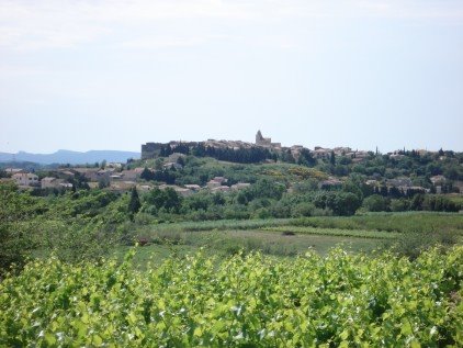
Heading south towards CDP Mont Ventoux was visible again beyond the vineyards.

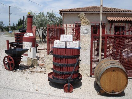
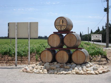
I didn't stop at any of the wineries in CDP but did stop off at this one, Domaine Tour St Michel, about 1/2 an hour's ride south of the town.


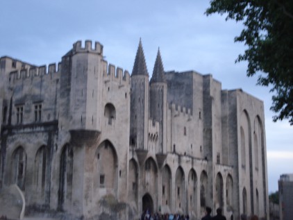
The wine was a typical Cote du Rhone...a Syrah/Grenache blend. After the tasting here and another at the wine store in the Palace of the Popes, I confirmed that Syrah/Grenache is just not a style of wine I'm crazy about, at least not in a tasting room. Leathery, musty, the kind of wine that really demands red meat, olives, tomato sauce etc. The ones I drank at meals were delicious but I think they're hard to evaluate without the context of a meal to work with the flavors of the wine.
After that I rode about 20 minutes more south and realized that the roads into Avignon were traffic-filled and industrial, and decided to go back the way I came. I stopped for lunch (back) in CDP, which was where I chatted with the trio of cyclists I had passed, & the guy confirmed for me that there was no other good route back to Avignon other than the way I had come. Ended the ride with 107 km on the odometer. That was the last ride I got in on the trip -- I averaged about 97 km (or just over 60 miles)/ day, which I can't complain about since my longest ride of 2006 prior to the trip was 95 km. I also wound up with a distinctive cyclist's tan line:

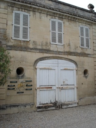
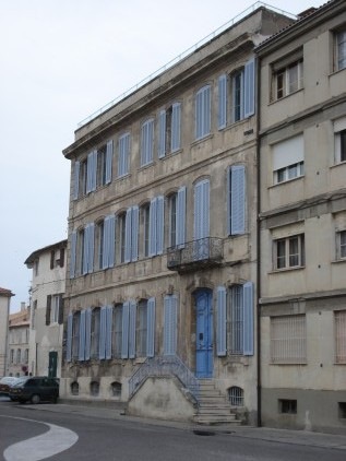
The next morning I took a photo of this storefront before getting the train to Paris:

I thought I could cut across this little island in the Rhone to the north of Avignon. The map showed bridges connecting it to another island and thence to the E side of the Rhone but the 1st of the bridges was inside a fenced off area--it turned out to be a hydroelectric dam. It's too bad b/c it would make for a great, traffic-free cycling route. The island itself is all agricultural & woodlands (probably the private gardens and hunting grounds of the Popes back in the day...).

Another corridor of sycamores.
Around the corner is where the PYTs of Avignon go to take their riding lessons.

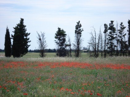
And more of the ubiquitous poppies.
After spinning around the island for a while, and realizing that the only way off was the way I got on, I headed up the W side of the Rhone, past this vineyard.

I took a detour here, up a short climb to the town of Pujaut. There's a bit about the town here, with a map -- I was riding up the D980 and took the 2nd left into Pujaut from Sauveterre. What that link doesn't tell is the etymology of the name...it's not just a really bad misspelling of Peugeot -- it comes from the Latin "Podium Altum" meaning a high hill...the spelling changed sometime in the 14th century, according to this site.
After getting back on the D980 I passed a trio of cyclists whom I'd later discover were from North America, and made my way through a series of roundabouts/rotaries/traffice circles to the bridge across the Rhone. Then I headed back south towards Chateauneuf du Pape. The ride would wind up being the shape of the letter C, b/c the roads north of Avignon are all industrial and unsuitable for cycling.
Heading south towards CDP Mont Ventoux was visible again beyond the vineyards.

I didn't stop at any of the wineries in CDP but did stop off at this one, Domaine Tour St Michel, about 1/2 an hour's ride south of the town.

The wine was a typical Cote du Rhone...a Syrah/Grenache blend. After the tasting here and another at the wine store in the Palace of the Popes, I confirmed that Syrah/Grenache is just not a style of wine I'm crazy about, at least not in a tasting room. Leathery, musty, the kind of wine that really demands red meat, olives, tomato sauce etc. The ones I drank at meals were delicious but I think they're hard to evaluate without the context of a meal to work with the flavors of the wine.
After that I rode about 20 minutes more south and realized that the roads into Avignon were traffic-filled and industrial, and decided to go back the way I came. I stopped for lunch (back) in CDP, which was where I chatted with the trio of cyclists I had passed, & the guy confirmed for me that there was no other good route back to Avignon other than the way I had come. Ended the ride with 107 km on the odometer. That was the last ride I got in on the trip -- I averaged about 97 km (or just over 60 miles)/ day, which I can't complain about since my longest ride of 2006 prior to the trip was 95 km. I also wound up with a distinctive cyclist's tan line:

The next morning I took a photo of this storefront before getting the train to Paris:

posted by Derick at 10:21 AM
![]()